UPDATED: WINTER STORM WATCH FOR MOST OF IA FRIDAY NIGHT THRU SUNDAY
November 27th, 2025 by Ric Hanson
321 AM CST Thu Nov 27 2025
A winter system moving across Iowa Friday evening through early Sunday is expected to bring several inches of snowfall across central Iowa, with significant travel impacts likely Friday through the weekend.
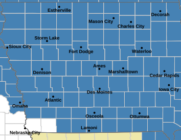
Sac-Crawford-Carroll-Audubon-Guthrie-Dallas-Cass-Adair-Madison-Adams-Union-Taylor and Ringgold Counties….
WINTER STORM WATCH IN EFFECT FROM 6-PM FRIDAY THROUGH 6-AM SUNDAY
* WHAT…Moderate to heavy snow accumulations expected. Total snow accumulations between 6 and 14 inches. A light glaze of ice is possible.
Pottawattamie-Mills-Montgomery Counties…
250 AM CST Thu Nov 27 2025
WINTER STORM WATCH IN EFFECT FROM 6-PM FRIDAY THROUGH MIDNIGHT SATURDAY
* WHAT…Heavy snow and light icing possible. Total snow accumulations between 3 and 5 inches and ice accumulations of a
light glaze possible. Winds could gust as high as 40 mph and lead to blowing snow and poor visibility.
Monona-Harrison-Shelby Counties….
WINTER STORM WATCH IN EFFECT FROM NOON FRIDAY THROUGH MIDNIGHT SATURDAY..
* WHAT…Heavy snow and light icing possible. Total snow accumulations between 4 and 6 inches and ice accumulations of a
light glaze possible. Winds could gust as high as 40 mph and lead to blowing snow and poor visibility.
*******
* IMPACTS…Travel could be very difficult. The hazardous conditions could impact holiday travel.
PRECAUTIONARY/PREPAREDNESS ACTIONS…
Monitor the latest forecasts for updates on this situation.