


Iowa’s forecast hardly feels like fall after hot, dry September
October 2nd, 2025 by Ric Hanson
(Radio Iowa) – The calendar says October but Iowa’s forecast says August. The National Weather Service predicts much of the state will see high temperatures in the upper 80s today (Thursday), low 90s likely Friday and Saturday, with cooler weather moving in on Sunday. Highs the next few days may be 20 degrees hotter than average. State climatologist Justin Glisan says the just-ended month of September rounded out much warmer than usual, too. Glisan says, “If you look at the average temperature for all stations in Iowa, it’s 67-degrees, and that’s about three-and-a-half degrees above normal.” Along with the warmer weather, he says Iowa ended the month short on rainfall.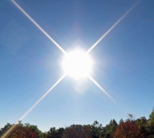
“The driest conditions were found in eastern Iowa and in pockets of northwestern Iowa,” Glisan says. “Overall, the preliminary average total for September was one-point-seven inches, and that’s almost one-and-three-quarter inches below average.” The month ends as the 25th warmest and driest September in Iowa history, based on 153 years of record keeping. As for the month ahead, Glisan predicts more of the same, at least for several days. “If you look at the short term outlooks through the middle of October, we’re seeing an elevated warm signal for much of the United States,” Glisan says, “but the warmest signal is centered across the central part of the United States, including much of Iowa.”
The forecast models also show the chances of rain picking up during the second week of October.

