


Winds up to 80 mph, ‘gustinadoes’ in northern Iowa storm
June 13th, 2025 by Ric Hanson
(Radio Iowa) – Wednesday’s storm that hit Sibley and other areas of northwest Iowa caused damage to crops, trees, buildings and power lines, but Peter Rodgers, a meteorologist at the National Weather Service office in Sioux Falls, says videos of the storm posted online do not show it was a tornado. “What those videos are showing are little swirls and curls on the leading edge of those strong downburst winds and so they certainly have a circulation with them and they appear to be a tornado, but the rotation is at the ground and not connected to an actual nearby thunderstorm,” he says. “We call them gustinadoes.”
Rodgers says wind speeds were between 60 to 80 miles per hour in the storm. Osceola County Emergency Management Director Corey Shearer has surveyed damage in Sibley, Ocheyedan and Allendorf. “Very big diameter branches down, trees down,” he says. “Some hitting houses where siding, roofs, windows damaged.” Kossuth County Emergency Management Coordinator Charissa Mueller was tracking the storm as it passed through Fenton. “They received a quite a bit of marble-sized, pea-sized hail in a quick amount of time resulting in some crop damage there with the corn,” she says. “Looking at Whittemore and Algona, we had a lot of trees down.”
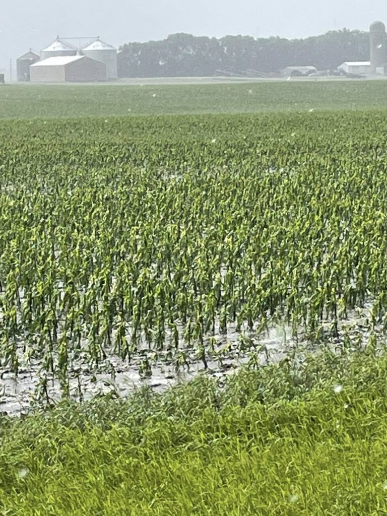
Photo of crop damage by Kossuth County Emergency Management Coordinator Charissa Mueller
In Lyon County, some roofs in Rock Rapids were damaged, in Clay County trees were toppled near Fostoria and in Emmet County the Veterans Memorial in Emmetsburg was damaged as the storm rolled through.

