


Update on closed roadways in western Iowa due to flooding
April 2nd, 2019 by Ric Hanson
AMES, Iowa – April 2, 2019 – Progress is being made, but several roads remain closed due to flooding in western Iowa. The Iowa Department of Transportation has completed testing, assessed damages, and is now in the process of repairing roadways in the flood-stricken area.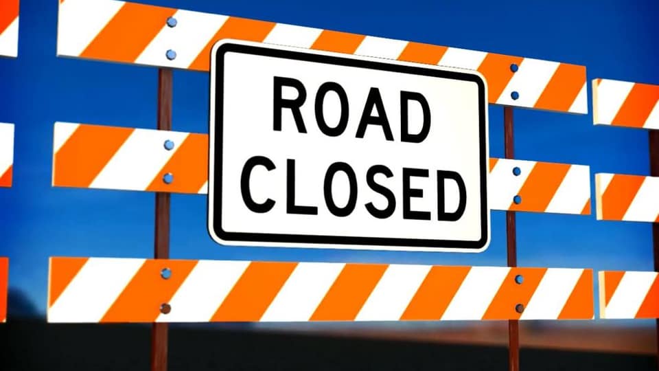
As of today (April 2nd):
- 6.5 miles of roadway were severely damaged
- 6.1 miles of roadway remain underwater
- 17.2 miles of roadway have severe shoulder damage
- 6.6 miles of roadway sustained minor shoulder damage
- 12.0 miles of shoulder remain underwater
* Note: Severe damage includes removing and replacing pavement or shoulder. Minor damage repairs include filling embankments and patching pavement and/or shoulders. These numbers reflect state-owned highways and interstates only. County and city roads are not included in this summary. In addition, some areas along Iowa 2 and U.S. 275 are still under water and have not yet been assessed for damage.
Current stage of flood recovery on other roads:
- I-29 in both directions MILE MARKER 0-10 Between the Missouri State Line (near Hamburg) and the Iowa 2 Interchange (south of Percival) and I-29 in both directions MILE MARKER 10-35 Between the Iowa 2 interchange (south of Percival) and the U.S. 34 interchange (near Glenwood): Roads remain closed and under inspection.
- I-29 in both directions MILE MARKER 55-61 Between N. 25th Street in Council Bluffs and the I-680 interchange (near Crescent); -29 in both directions MILE MARKER 61-71
Between the I-680 interchange (near Crescent) and the I-6808 interchange (near Loveland); and I-680 in both directions MILE MARKER 0-3 Between the I-29 interchange (Old Mormon Bridge Road near Crescent) and I-680 in Nebraska (Mormon Bridge): Repairs are currently underway to fix flood damage. - U.S. 34 in both directions MILE MARKER 0-4 Between the Nebraska state line and the I-29 interchange (near Pacific Junction), and U.S. 275 in both directions MILE MARKER 0-2
Between the Missouri state line and Iowa 333 (near Hamburg): Roads remain closed and under inspection. - Iowa 2 in both directions MILE MARKER 0-10 Between the Missouri River Bridge and the Nebraska state line and U.S. 275/Fremont County Road J-46 (near Sidney): Water remains on the roadway. Waiting for water to recede before the road is inspected.
- Iowa 333 in both directions Between I-29 and Fremont County Road J-64 and U.S. 275 (near Hamburg): Road closed for Inspection.
Barriers blocking access to roads will remain in place until the road has been deemed safe for traffic. If you see a barricade, don’t drive around it. Just because a road looks safe, doesn’t mean it is safe. While some structural damage to the road surface is very visible, damage to the ground underneath the road may be more difficult to see. Barricades are in place to protect you from hurting yourself, damaging your vehicle, and potentially causing further damage to the road. If you are a resident or property owner and need to get to your property, your county emergency management office can help coordinate safe access
