


Iowa may see ‘widespread snow’ starting Friday night
November 26th, 2025 by Ric Hanson
(Radio Iowa) – Many tens of thousands of Iowans will be on the road tomorrow for Thanksgiving and forecasters say it’ll be a cold but sunny travel day, however Friday’s a different story, and Saturday may be even worse. Meteorologist Ashley Bury, at the National Weather Service, says a large wintry storm system is looming that could drop several inches of snow. “This system that’s going to be arriving into Iowa, it looks like Friday night is where it begins,” Bury says. “So Friday evening, and then chances really increase as we get into Saturday. It does look like we’re going to see widespread snow across the state.”
Iowans who are staying home will want to have their snow shovels handy and snowblowers gassed up and ready, while motorists will need to pack snow brushes, ice scrapers and a winter emergency kit in the trunk. “The highest chances for accumulating snowfall right now are mostly along and north of Interstate 80 and then further north into the Mason City area and even northeast parts of the state,” Bury says. “We’ve got about 50% or higher chances for four inches or more of snow in those areas.”
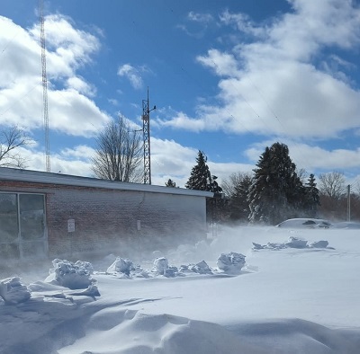
March, 2025 snowstorm/blizzard in Atlantic (Photo property of Ric Hanson)
In advance of the cold front, powerful winds blasted across Iowa late Tuesday and into this morning, with gusts topping off above 60 miles an hour. Those winds tore into trees, knocking limbs onto utility lines and knocking out the power to thousands of homes. Crews are still working to restore power to a few hundred customers.

