432 PM CDT Fri Apr 26 2024
The National Weather Service in Omaha/Valley has issued a
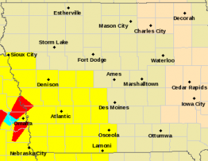
* Flash Flood Warning for…
Northwestern Mills County in southwestern Iowa…
Southwestern Pottawattamie County in southwestern Iowa…
Eastern Douglas County in east central Nebraska…
Northeastern Sarpy County in east central Nebraska…
Southeastern Washington County in east central Nebraska…
* Until 800 PM CDT.
* At 432 PM CDT, Doppler radar indicated thunderstorms producing
heavy rain across the warned area. Up to 1 inch of rain has
fallen. Additional rainfall amounts of 1 to 2 inches are possible
in the warned area. Flash flooding is ongoing or expected to begin
shortly.
HAZARD…Flash flooding caused by thunderstorms.
SOURCE…Radar.
IMPACT…Flash flooding of small creeks and streams, urban
areas, highways, streets and underpasses as well as
other poor drainage and low-lying areas.
* Some locations that will experience flash flooding include…
Omaha, Council Bluffs, Bellevue, Papillion, Ralston, Boys Town,
Offutt AFB, Millard, La Vista, Carter Lake, Crescent, Midtown,
Aksarben, South Omaha, Benson, Florence, Eppley Airfield, Walnut
Creek Recreation Area, Prairie Queen Recreation Area and Standing
Bear Lake.
PRECAUTIONARY/PREPAREDNESS ACTIONS…
Turn around, don`t drown when encountering flooded roads. Most flood
deaths occur in vehicles.
Be aware of your surroundings and do not drive on flooded roads.