FREMONT MILLS MONTGOMERY and PAGE Counties…
* Primary threats include…
Scattered large hail likely with isolated very large hail events to 2 inches in diameter possible
Scattered damaging wind gusts to 70 mph possible
A tornado or two possible
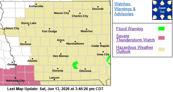
SUMMARY…Strong to severe thunderstorm are possible along a cold front pushing southeastward across north-central Kansas and southeast Nebraska. Large to isolated very large hail is the primary severe hazard with these storms, although a few strong wind gusts are possible as well, particularly over southeast Nebraska and adjacent far southwest Iowa and extreme northwest Missouri.
PRECAUTIONARY/PREPAREDNESS ACTIONS…
REMEMBER…A Severe Thunderstorm Watch means conditions are favorable for severe thunderstorms in and close to the watch area. Persons in these areas should be on the lookout for threatening weather conditions and listen for later statements and possible warnings. Severe thunderstorms can and occasionally do produce tornadoes.