Skyscan Forecast for Atlantic & the area: Friday, July 31, 2026
Today: Mostly cloudy w/a 40%chance of showers & thunderstorms. A high near 79. Winds S @ 10-25 mph w/gust to near 35 mph. Tonight: Cloudy,


Today: Mostly cloudy w/a 40%chance of showers & thunderstorms. A high near 79. Winds S @ 10-25 mph w/gust to near 35 mph. Tonight: Cloudy,
Today: Partly sunny, with a high near 86. S/SE winds 10 to 20 mph.Tonight: Showers & thunderstorms. Some of the storms could produce heavy rainfall.
Today: Patchy smoke, otherwise mostly sunny, with a high near 92. Southeast wind 5 to 10 mph.Tonight: Patchy smoke before midnight w/a slight chance of
Official NWS spotter or recording system reports: Atlantic (at KJAN), .66″ Atlantic (7.1 miles N/NE), .18″ Creston, .04″ Creston (8.3 miles W/NW), .32″ Unofficial reports
Today: Mostly cloudy, with a high near 89. Calm wind becoming east 5 to 10 mph in the morning.Tonight: Partly cloudy, with a low around

EXTREME HEAT WARNING REMAINS IN EFFECT UNTIL 10 PM CDT THIS EVENING FOR ALL OF OUR LISTENING AREA. Today: Sunny and hot, with a high
Today: Mostly sunny and hot, with a high near 98. Heat index values as high as 110. South southwest wind 5 to 15 mph, with
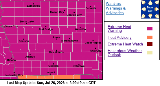
…HEAT ADVISORY REMAINS IN EFFECT UNTIL NOON CDT SUNDAY……EXTREME HEAT WARNING REMAINS IN EFFECT FROM NOON TO 9 PM CDT SUNDAY……EXTREME HEAT WATCH REMAINS IN
Today: Areas of dense fog before 10am. Otherwise, cloudy through mid morning, then gradual clearing, with a high near 92. Heat index values as high
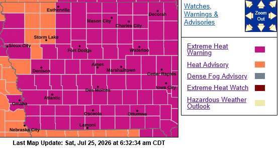
* WHAT…For the Dense Fog Advisory, visibility one quarter mile or less in dense fog. For the Heat Advisory, heat index values near or exceeding
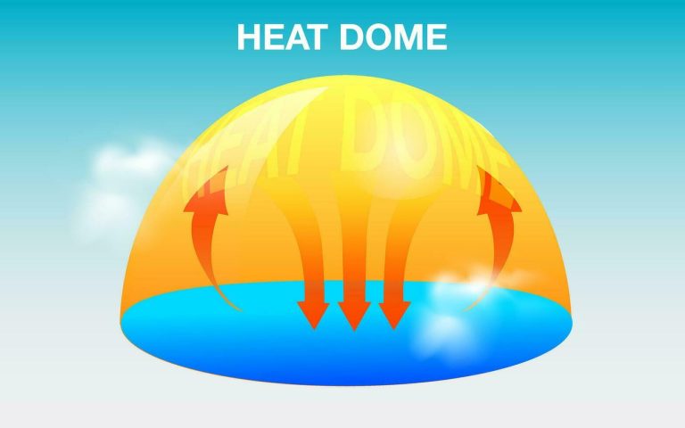
(Radio Iowa) – Temperatures in Iowa will shoot up again this weekend, due to another “heat dome” setting up over the upper Midwest. State Climatologist
From official NWS reporting spotters or electronic recording systems: Atlantic (KJAN), .15″ Atlantic (7.1 miles N/NE), .09″ Audubon, .14″ Carroll, .22″ Clarinda, .04″ Creston (8.3