
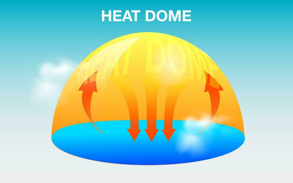
(Radio Iowa) – Temperatures in Iowa will shoot up again this weekend, due to another “heat dome” setting up over the upper Midwest. State Climatologist Justin Glisan (GLISS-an) says there’s a southern flow of air under the dome, with high pressure above heating the air.
That’s because heat dome causes thunderstorms to move more slowly.
Glisan says it’s why eight to 12 inches of rain fell around Ames and Ankeny on July 2nd and 3rd. Forecasters say humidity levels will be “oppressive” on Sunday, fueled by moisture sweeping into Iowa from the south, but Glisan confirms “corn sweat” is a real thing that adds to it.
Glisan says a higher dew point, however, does reduce stress on corn and soybeans.
Glisan made his comments during a recent appearance on “Iowa Press” on Iowa P-B-S.