A BAND OF MODERATE TO HEAVY SNOWFALL IS POSSIBLE IN SOUTHWEST IOWA TONIGHT INTO TUESDAY MORNING...
Moderate to heavy snowfall is forecast to occur in a band over southwest Iowa beginning late this evening and continuing into Tuesday morning. Snow amounts around 2 to 4 inches are expected, with a narrow swath of higher amounts nearing 6 inches or more possible within parts of the advisory area. This band will have a sharp cutoff of snowfall amounts, especially on the northeastern edge. Those that fall under this snow band should expect impacts to travel conditions, including during the Tuesday morning commute.
Audubon-Guthrie-Cass-Adair-Madison-Adams-Union-Taylor-Ringgold-Harrison-Shelby-Pottawattamie-Mills-Montgomery Counties...
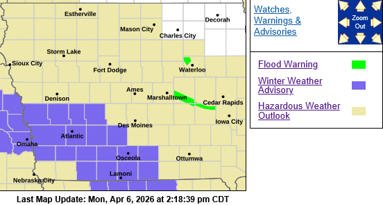
.WINTER WEATHER ADVISORY IN EFFECT FROM 10 PM THIS EVENING TO 1 PM CDT TUESDAY...
* WHAT...Snow expected. Total snow accumulations between 2 and 4 inches. Locally higher amounts near 6 inches possible in a narrow band.
* IMPACTS...Plan on slippery road conditions. The hazardous conditions could impact the Tuesday morning commute.
PRECAUTIONARY/PREPAREDNESS ACTIONS...
Slow down and use caution while traveling. For the latest travel conditions, check the Iowa 511 app, www.511ia.org, or dial 511.