
Today: Cloudy w/light snow this afternoon possibly mixed w/freezing rain or sleet this evening. High 25. E/SE @ 10-20. Wind chill values as low as -10. **Winter Storm Warning in effect at Noon**
Tonight: Mixed precipitation changing to snow/blowing snow. Low -10. N/NW @ 20-40. Wind chill values as low as -30.
Tomorrow: Snow ending in the morning (2-4” total). High -5. NW @ 20-50. Wind chill values as low as -35.
Friday: P/Cldy. Blowing snow. High -2. .
Saturday: P/Cldy. High 5.
Tuesday’s High in Atlantic was 12. Our Low this morning, 0. Last year on this date the High in Atlantic was 43 and the Low was 11. The Record High on this date was 58 in 1941. The Record Low was -22 in 1989.
Today: Partly cloudy. High 14. Winds NW @ 10-20. Wind chill values as low as -10.
Tonight: Fair to P/Cldy. N/NE @ 5. Low near 0. Wind chill values as low as -5.
Tomorrow: Mo. Cldy w/snow developing after noon. High 25. E/SE @ 10-15. Wind chill values as low as -5. New snow accumulation of less than one inch possible. **WINTER STORM WATCH begins at 6-p.m. and continues through 6-a.m. Saturday**
Tomorrow Night: **WINTER STORM WATCH begins at 6-p.m. and continues through 6-a.m. Saturday**Snow & Patchy blowing snow. (4-to 6-inches total). Low around 0.
Thursday: Snow ending before noon. Blowing snow. High near 0.
Friday: P/Cldy. High -2.
Monday’s High in Atlantic was 35. Our Low this morning was 6. Snowfall in Atlantic (at KJAN) was .2″ (two-tenths of an inch), which melted into a .02″ liquid value. Last year on this date, the High in Atlantic was 38 and the Low was 11. The Record High was 61 in 1941. The Record Low was -25 in 1983.
Monday: Cloudy with light snow becoming mixed at times with freezing drizzle late. High 31. Winds E/SE @ 10-15 mph. Wind Chill values as low as 10. Little or no ice accumulation expected. New snow accumulation of less than one inch possible.
Monday Night: A chance of snow and freezing drizzle. Low around 7. N @ 10-20. Wind chill values as low as -5. New snow accumulation of less than a half inch possible.
Tuesday: Partly cloudy. High 13.N @ 10-20. Wind chill values as low as -5.
Wednesday: A chance of light snow. High near 15.
Thursday: Cloudy, windy and cold snow & blowing snow. High near 0.
Sunday’s High in Atlantic was 27. The Low was 4. Last year on this date, the High in Atlantic was 35 and the Low was 11. The Record High was 58 in 1966. The Record Low was -33 in 1983.
Today: Sunny, with a high near 22. Wind chill values as low as -5. West northwest wind around 6 mph becoming light and variable in the afternoon.
Tonight: Increasing clouds, with a low around 11. East wind 5 to 7 mph.
Monday: Snow likely, mainly between 7am and 3pm. Cloudy, with a high near 32. Wind chill values as low as 10. South southeast wind 7 to 11 mph, with gusts as high as 23 mph. Chance of precipitation is 70%. New snow accumulation of 1 to 2 inches possible.
Monday Night: Cloudy, then gradually becoming partly cloudy, with a low around 1. Wind chill values as low as -5.
Tuesday: Partly sunny, with a high near 12. North northwest wind 7 to 10 mph, with gusts as high as 18 mph.
Wednesday: A 40 percent chance of snow, mainly after noon. Cloudy, with a high near 12.
Today: Mostly Cloudy. High around 19. Winds NW @ 10-20 mph.
Tonight: Mostly clear. Low 5. NW @ 10-15.
Tomorrow: Mostly sunny. High 25. SE @ 10.
Monday: Mo. Cloudy w/a 40% chance of snow (around 1.5”). High 34. SW @ 10.
Tuesday: Mostly sunny. High 8. NW @ 10.
Friday’s High in Atlantic was 24. Our Low this morning, 13. We received a Trace of snow yesterday. Last year on this date the High in Atlantic was 41 and the Low was 25. The Record High on this date was 65 in 1939. The Record Low was -18 in 1951.
Today: Cloudy w/light snow or flurries. High around 25. Winds W/NW @ 15-30 mph. A trace to less than 1/2 inch of snow is expected today.
Tonight: Cloudy. Low 14. NW @ 10-20.
Tomorrow: Partly cloudy. High 24. NW @ 10-20.
Sunday: Partly cloudy. High 28.
Monday: Mostly cloudy w/a chance of light snow. High 28.
Thursday’s High in Atlantic was 27. Our Low this morning was 19. We received a total .3” of snow yesterday into early this morning (as of 4:50-a.m.). Last year on this date the High in Atlantic was 41 and the Low was 17. The Record High on this date was 59 in 1962. The Record Low was -22 in 1951.
(Radio Iowa) – The odds of most Iowans having a white Christmas are increasing by the minute. While the holiday is still ten days away, the snow falling across much of the state today (Thursday) will be followed by very cold weather, so whatever falls now will likely stick around at least until December 25th. Meteorologist Jim Lee, at the National Weather Service, says the expected snow accumulation amounts vary across the state. “The highest amounts will be up in northern Iowa, where we’re looking at probably in the range of about three or four inches, give or take a little bit,” Lee says. “Down towards central Iowa, we are expecting, depending on where you are, probably in the one-to-three inch range, with the higher amounts, of course, being a little bit further north.”
Almost all of Iowa will see at least some snow today, though the southern few tiers of counties may only get flying flurries. “We’ll probably have some lingering snow into tomorrow and tomorrow night in northern Iowa, but any additional amounts look pretty light,” Lee says. “As far as temperatures, unfortunately, it’s not going to get warm again for quite some time. The daily high temperatures for the next several days range in the teens north to mostly 20s south, and then once we get into next week, it could get even colder.”
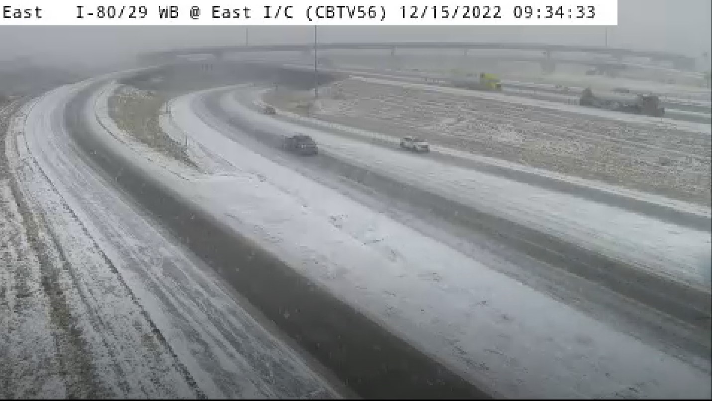
I-80 WB / I-29 NB (Near South Expressway) 12/15/22
When put on the spot, Lee was hesitant to make a prediction about what percentages of the state may, indeed, have a white Christmas. “Ha! Now that’s a question I can’t quite answer today, certainly in terms of percentages, but it does look like whatever snow we get out of this system is going to have a hard time melting,” Lee says. “Certainly, anywhere that gets a couple inches or more today stands a pretty decent chance of having it hold out for next week, especially up in the north.”
According to the Iowa Storm Chasing Network, Iowans who live along and north of Highway 20 have a 61-to-75% chance of having snow on the ground on December 25th, based on climatology, while areas between Highway 20 and Highway 30 have a white Christmas probability between 51-to-60%. ISCN says, based on historical data, from Highway 30 to Highway 34, there’s a 41-to-50% chance, while from Highway 34 to the Missouri border, there is only a 26-to-40% probability of a white Christmas.
(Radio Iowa) – Today (Thursday) marks one year since an extremely rare, very powerful December derecho swept across Iowa, killing one person and causing widespread destruction. Meteorologist Mike Fowle, at the National Weather Service, says the massive, long-duration storm is cemented in state history and will, hopefully, never be matched. Forty-nine of Iowa’s 99 counties were declared disaster areas and the storm spun off 63 tornadoes, the most Iowa’s ever seen in a single day.
It was the second derecho to hit Iowa in two years, following another on August 10th of 2020, which placed the term “derecho” into the vocabulary of everyone in the state. The 2020 storm packed extremely powerful winds, peaking at 140-miles an hour near Cedar Rapids. Coincidentally, Iowa had a derecho earlier this year, in July, but it was nowhere near as destructive as the previous two.
Today: Cloudy w/light snow or flurries. High around 30. Winds W/NW @ 15-30 mph. Less than 1/2 inch of snow is expected today.
Tonight: Cloudy w/light snow/flurries. Low 22. NW @ 15-30.
Tomorrow: Cloudy w/periods of light snow or flurries. High 26. Less than 1 additional inch is expected.
Saturday: Partly cloudy. High 26.
Sunday: Mostly cloudy. High 28.
Wednesday’s High in Atlantic was 34. Our Low this morning (as of 5-a.m.) was 27. We received a trace of snow overnight into this morning. Last year on this date the High in Atlantic was 72 and the Low was 25. The Record High on this date was 72 in 2021. The Record Low was -19 in 1901.


